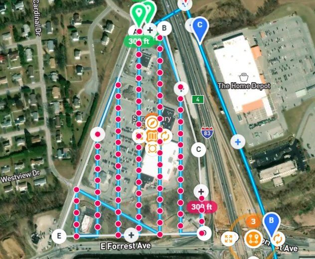
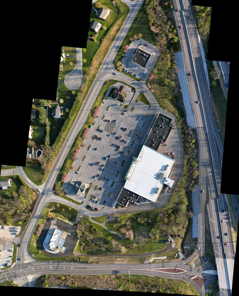
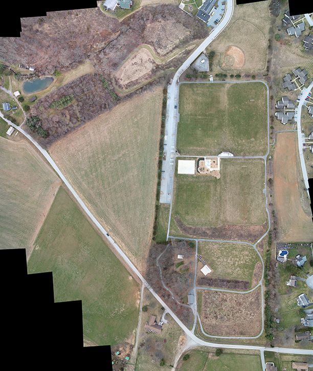
Drone Mapping is the process of taking multiple (100's) of photos and then stitching them together. The stitched together photos are similar to a Google Map, EXCEPT it is up to date. This process is EXCELLENT for visual inspections and progress reports.
SYCDrone can provide high resolution photos down to 0.5"/pixel. By using preprogrammed flight paths, we can work with the Client to find the best solution to your project.
Examples:
Shopping Centers
Golf Course
Property Inspections
Event Planning
Landscaping
(Below: Blue line is the flight path and the Red dots are the points which photos are taken)